Iron Horse Rail Trail Cycle TourElbow Valley Cycle Club, Calgary, Alberta Canada
2002 May 18 - 20
Webmaster: P. LaGrandeur..............Last Update 2005 Jan 30
Pre-trip meeting: 2002 May 15, Wednesday 7:30PM
|
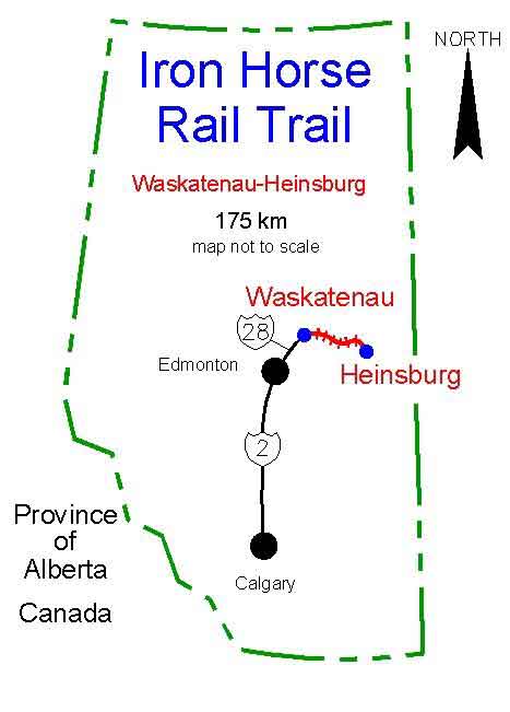
* Where is the Iron Horse Trail? *
|
Locator Map |
|
|
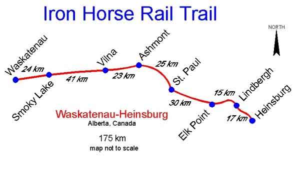
Route |
|
|
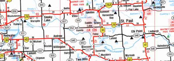
Adjacent Highways |
|
* EVCC Cycle Tour Overview *
|
Tour Status
Persons considering participating in this tour should understand that
this trip is regarded as being 'exploratory' since the route is new
and not fully developed. Not enough documentation is available to fully
ascertain every necessary detail.
|
|
Camping
We will be staying at the Municipal campground right in St. Paul. As
you drive into the west edge of town, watch for the Ford dealer on the
north side. Look across the street to the south side to see the RCMP
post. The campground is right behind the RCMP.
|
|
Basic Itinerary
|
Waypoints (km)
|
|
Participant Agreement
|
* Trail Evolution *
|
A possible 250+ kilometre long trail system was first envisioned in 1993 by the locals of the area.
It would be comprised of two legs, Waskatenau to Heinsburg
and Abilene to Cold Lake. The CN line was eventually abandoned in June of 2000. The last train ran in October 2000. The neighbouring ten rural
municipalities had discussions with the urban centers and eventually all parties joined together to form a non-profit charity, originally known as
'Part Nine Co.', now officially registered as N.E. MuniCor.
|
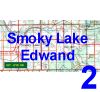
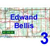
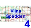
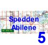
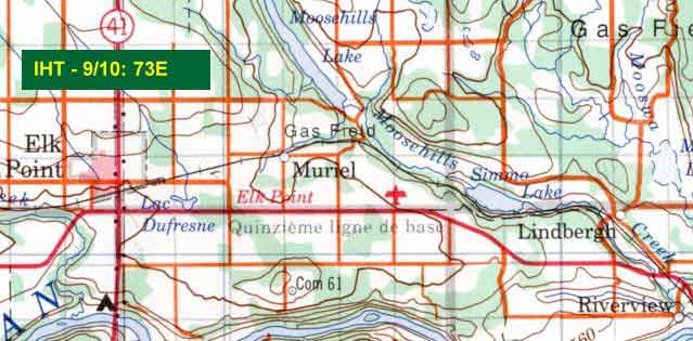
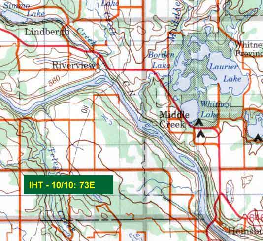
* Trail Topo Maps *
Need to Know Which Maps to Ask For at a Map Store?
|
NTS Topo Maps - 1:250,000
|
County Maps
|
|
Map Retailers
|
|
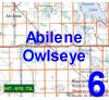
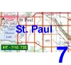
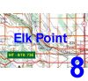
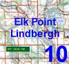
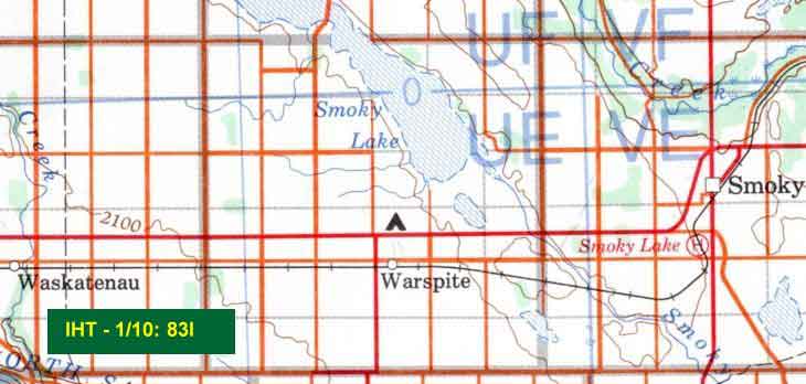
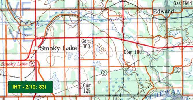
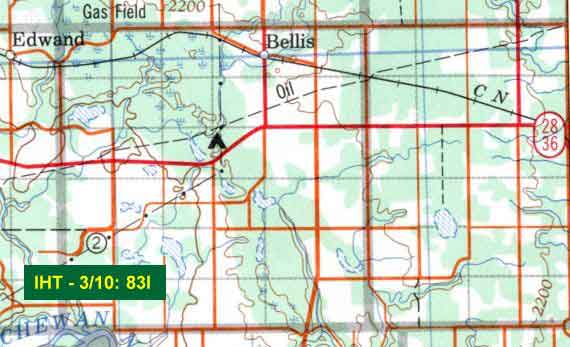
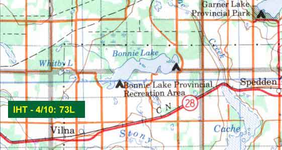
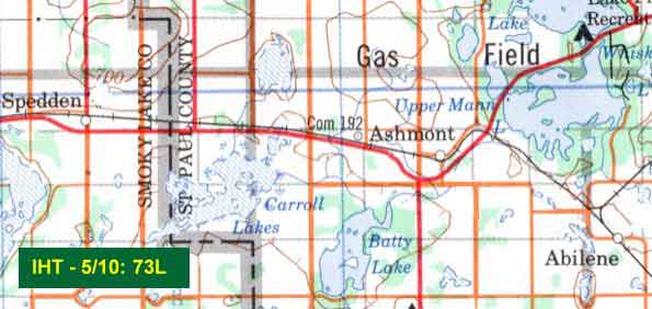
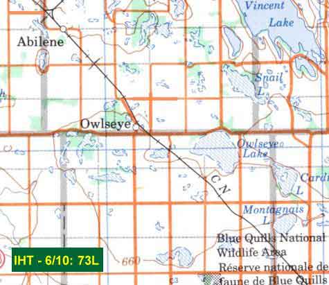
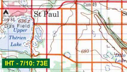
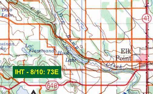
Click a Thumbnail Below to Go To a Topo Map Excerpt
 |
 |
 |
 |
 |
 |
 |
 |
 |
 |
|
|
Participants on this ride must be members of the Elbow Valley
Cycle Club. Click on the icon at left to view and print this
document. Mail completed form and funds to the EVCC Membership
Director @ 1111 Memorial Drive NW, Calgary, AB T2N 3E4 Canada
|
. |
|
|
|
|